Field Mapping Essentials
Inquire about our next course date
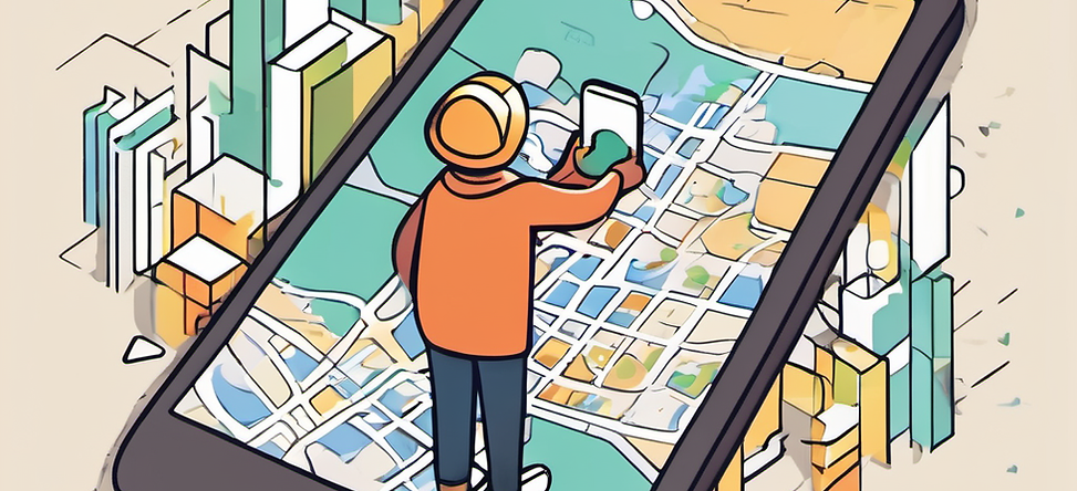
Getting started with Esri and/or Free Tools for efficient field work
Efficiently collecting data in the field using mobile devices can improve your results while also saving you time and money. Getting started with a tool is the hardest part. This course provides an introduction to data collection, focusing on essential concepts, tools, and techniques used in practical fieldwork. The course is delivered live online and has pre-recorded video content that saves you time in "figuring it all out" while being efficient, accurate and better at doing your field work.
The course gets you started with either low-cost and open source GIS, or Esri (licensed) field tools, or optionally learn both to understand what work best for you before committing to expensive licensing. This course is designed for non-GIS people to get what you need to make your field data work for you. The course is delivered live online over two weeks on weeknights at 4pm and run for about 3 hours twice a week for two weeks, and sessions are recorded so that you can revisit concepts taught and discussions later.
Course Objectives
By the end of this course, participants will:
-
Be efficient at working in-field using the most cost-effective mobile tools for their use case
-
Become familiar with popular mobile software tools (ESRI and/or open source), allowing you to decide if a "license" makes sense, or if using freely available software is better.
-
Know how how to use mobile devices and navigation tools for data collection, and use desktop software to manage that collected data
-
Gain insights into advanced collection techniques and when they are most useful.
-
Have meaningful professional advice on your next steps for applying the knowledge of this course.
Course is delivered online and live, with each session starting at 4pm and finishing around 7pm. Students can choose to take the open source or esri training options, or can learn both.
Target Audience
This course is designed for natural resource management, environmental sciences, consulting, and land-management professionals or anyone working "in the field" seeking to enhance their skills in data collection. No prior GIS or data experience is required.
Course Materials Provided:
-
Online live sessions to learn with an industry expert having decades of experience
-
A Professionally designed Learning Management System allowing you to go through materials at your own pace
-
Comprehensive pre-recorded Video on key concepts that can be watched anytime
-
Pre-configured demos and examples provided to use as templates
Participants will need access to:
-
Computer to attend lectures and watch videos (MacOS or Windows)
-
A Mobile device, either an iPhone or Android--newer is better.
-
An Esri organizational license, if taking the Esri option.
-
Note apps will be installed on your computer and mobile device as part of the course.
Note: Course is delivered in partnership with simplyhelp.ca